Satellite navigation has become the standard source of coordinates for unmanned aircraft systems. However, the ability to receive a GNSS signal cannot be considered guaranteed: it may not be available indoors, between buildings, in difficult terrain, under dense vegetation, or in other conditions where satellite signal reception is degraded.
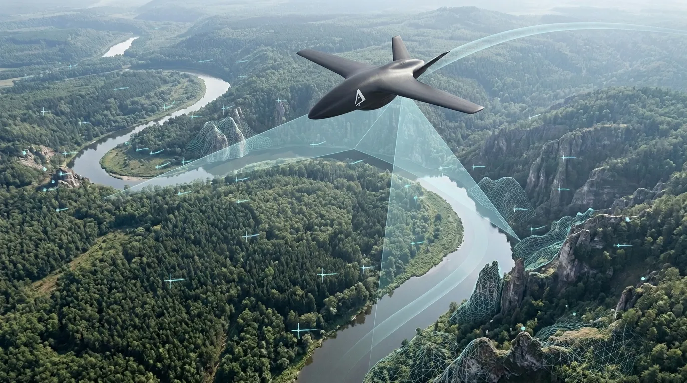
AERIS GNSS-Denied Navigation explores an architecture in which an unmanned vehicle is able to continue to determine its own motion and position from environmental and onboard sensor data, without relying on satellite coordinates as a mandatory source of navigation.
Estimating aircraft motion
To move autonomously, it is not enough for the device to know the direction of flight. He needs to constantly evaluate how much his position, speed and orientation have changed relative to the previous state.
With GNSS, some of this information can be obtained externally. In its absence, the system must extract it from what the device itself directly observes.
The basis of this approach is cameras and inertial sensors. The visual system observes changes in the surrounding scene, and the inertial loop registers the movement of the vehicle between successive observations.
Environmental features as navigation references
As you move, the position of objects in the image constantly changes. Roads, buildings, forest boundaries, terrain features, coastlines, and other stable features of the scene provide visual references by which the movement of the vehicle can be assessed.
Instead of asking “what coordinates did the satellite transmit?” the system solves another problem: “how has the position of the vehicle relative to the observed environment changed?”
The sequence of such relative measurements forms its own estimate of the trajectory.
- the camera observes the scene changing over time;
- persistent visual features are associated between successive frames;
- the movement of the apparatus is estimated by their displacement;
- inertial data complements visual observations between frames;
- the information received is combined into a continuous navigation assessment.
Why one camera is not enough
Visual information is highly spatially informative, but depends on the surrounding scene. Sudden changes in lighting, a uniform surface, fog, or a lack of visible landmarks can reduce the quality of the visual assessment.
An inertial system has the opposite property. It is capable of measuring rapid changes in motion independent of the image, but over long periods of offline calculation it gradually accumulates error.
The combined use of two sources makes it possible to compensate for some of the weaknesses of each of them. The cameras provide a reference to the observed world, and the inertial loop ensures continuity of assessment between visual observations.
Visual Odometry and VIO
One of the basic levels of such navigation is visual odometry. The system estimates the relative movement of the device based on a sequence of images and accumulates its own trajectory.
When visual observations are combined with inertial sensor data, visual-inertial odometry is formed. This allows high-frequency motion information to be used together with spatial cues from the surrounding scene.
For an unmanned vehicle, this approach is especially important in dynamic modes, where the camera and the inertial system observe the same process in completely different ways.
Optical Flow as local motion estimation
For some tasks, there is no need to immediately determine the global position on the map. Sometimes it is more important to understand the relative movement of the vehicle above the surface: displacement, change in height, lateral drift, or approach to an object.
Optical flow allows you to analyze the movement of an image between successive frames and use it as an additional source of information about movement.
This mode is especially useful when flying at low altitude, maintaining position, and operating in an environment where there are no stable global reference points.
From relative motion to georeferenced position
Visual odometry allows movement to be assessed relative to a previous state, but long-term accumulation of relative measurements inevitably leads to drift.
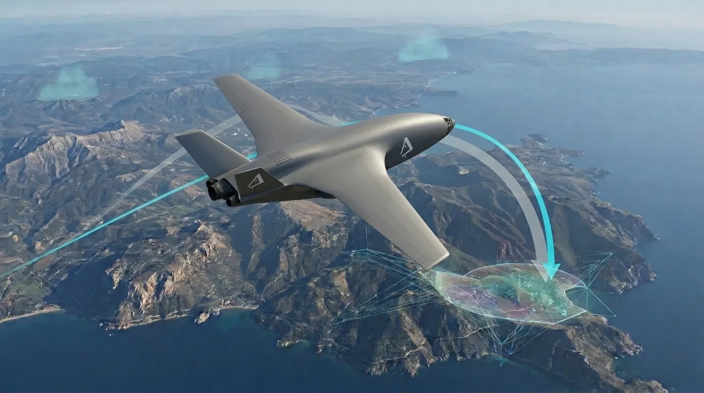
Therefore, the next level of GNSS-denied navigation is associated with the search for external landmarks, the position of which can be associated with a known map or previously observed terrain.
Such a landmark does not have to be an artificial marker. It can be a recognizable surface structure, a road network, the contour of a coastline, a characteristic object, or a combination of several relief elements.
Once the system confidently matches the observed scene to a known area, the accumulated trajectory can be adjusted relative to this reference.
Navigation must know its own uncertainty
For an autonomous system, it is not enough to provide a coordinate. It is equally important to understand how much this assessment can be trusted.
The quality of visual navigation is constantly changing. Over a well-textured terrain, the system can receive a large number of stable features, and after a few seconds find itself over a monotonous surface, where there is much less available information.
Therefore, the navigation system must track not only the current position, but also the quality of its own assessment.
An increase in uncertainty becomes an independent signal for the control system: the device can change the movement mode, find a more informative observation area, or limit the execution of actions that require high positioning accuracy.
Multiple sources instead of one
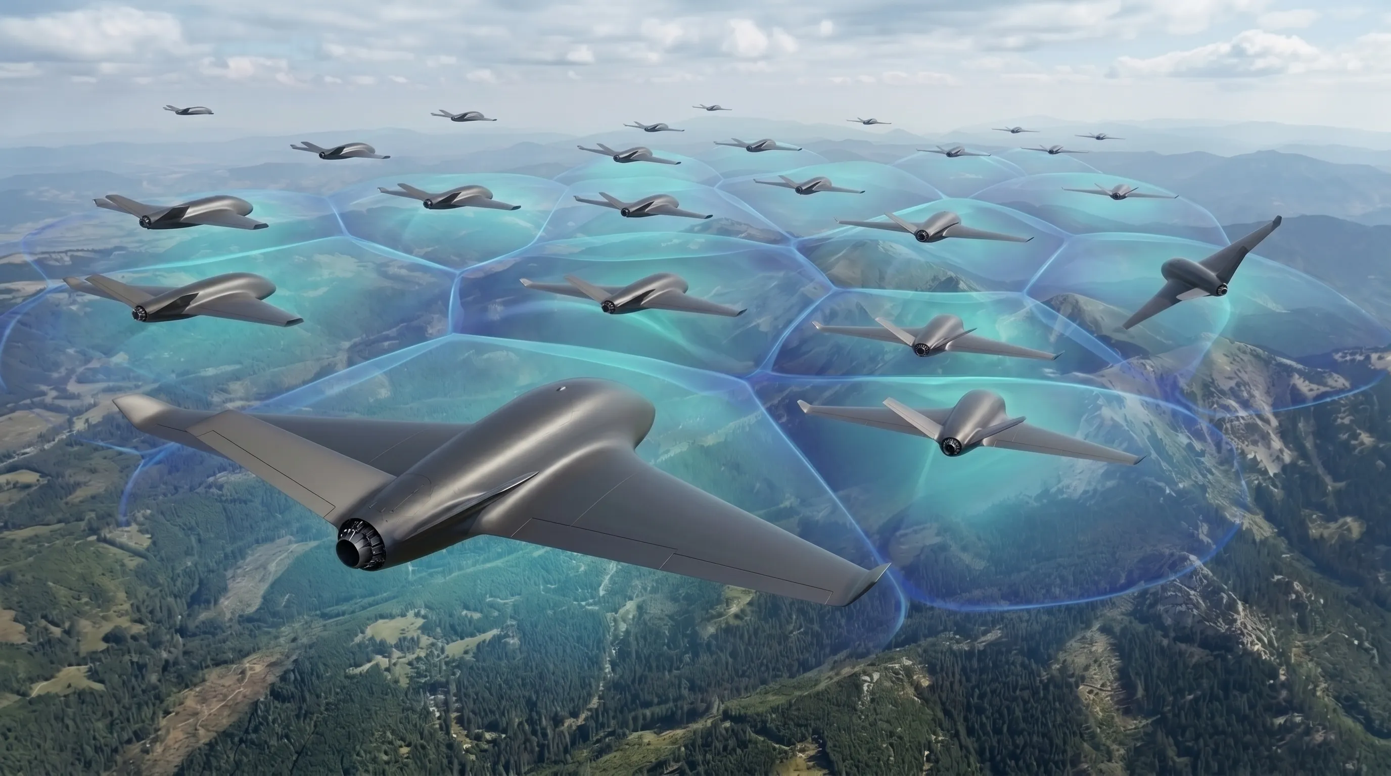
The core principle of AERIS GNSS-Denied Navigation is not to choose one “GPS replacement”. Reliability appears due to the combination of several independent signs of movement.
Depending on the platform and flight conditions, the navigation loop may use:
- visual movement relative to the surrounding scene;
- inertial motion estimation;
- optical flow;
- assessment of the distance to environmental elements;
- recognizable landmarks;
- comparison of the observed area with previously known data.
None of these sources should be considered completely reliable. The system evaluates them together and uses the available information depending on current conditions.
Switching between navigation modes
A real mission rarely takes place under the same conditions from launch to landing. The device can start flying in an open area, then approach a building, pass an area with little visual structure, and again enter a well-observed area.
Therefore, an important property of navigation architecture is the ability to change the relative contribution of different sources of information without disrupting the overall assessment of movement.
This approach allows us to consider the absence of GNSS not as a separate emergency mode, but as one of the possible states of the navigation environment.
Engineering Application
Navigation without mandatory satellite reference expands the range of conditions in which an autonomous system can remain operational.
Practical applications include:
- flights in areas with limited satellite visibility;
- work in difficult terrain;
- navigation between buildings and other large objects;
- research flights over remote areas;
- flights inside large structures;
- precise local movement relative to the observed surface;
- continuation of an autonomous mission with temporary loss of GNSS.
Constraints and engineering challenges
Visual navigation depends on the quality of the observed scene. Snow, water, fog, sudden changes in lighting, repeating structures and surfaces with little detail can significantly complicate motion estimation.
In addition, relative positioning error tends to accumulate. Therefore, long-term autonomous operation requires mechanisms for periodically clarifying one’s own position and controlling the growth of uncertainty.
- lighting affects the stability of visual cues;
- homogeneous terrain reduces the amount of information available;
- the inertial loop gradually accumulates an error;
- platform vibrations affect the quality of images and measurements;
- The navigation estimate must remain fast enough to control the vehicle in real time.
The AERIS approach
AERIS views GNSS-denied navigation not as an emergency replacement for a satellite system, but as an independent ability of an autonomous vehicle to perceive its own movement relative to the outside world.
The goal of the research is to build a navigation architecture in which the absence of an external coordinate support does not lead to an immediate loss of the ability to navigate and continue the mission.
In such a system, cameras, inertial sensors and the observed environment become parts of a single navigation loop, and the quality of the resulting estimate is taken into account along with the position estimate itself.
The specific architecture of sensor fusion, state estimation algorithms and internal mechanisms of the navigation loop are part of the AERIS research development and are not disclosed in public materials.