





Featured article
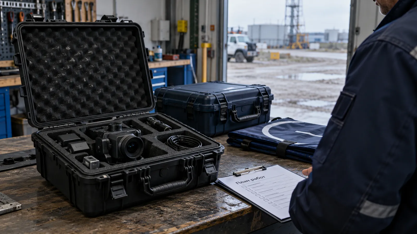
Regular UAS operation requires procedures, checklists, maintenance and a clear data workflow as well as an aircraft.
In this article

Satellite navigation is convenient, but not always available. The signal can degrade in urban areas, near metal structures, in gorges, indoors, under canopies or due to interference. Therefore, critical UAS missions require an architecture that is not dependent on a single coordinate source.
Navigation without GNSS does not mean magical autonomy. This is a set of sensors and algorithms that estimate position relative to the environment, trajectory, map or starting point. Such a system requires design, configuration and testing.
First you need to understand why the system should work without GNSS: to continue the route in the event of a short-term loss of signal, to carry out a mission in a closed area, to remain stable in the face of interference, or to ensure accurate positioning relative to an object.
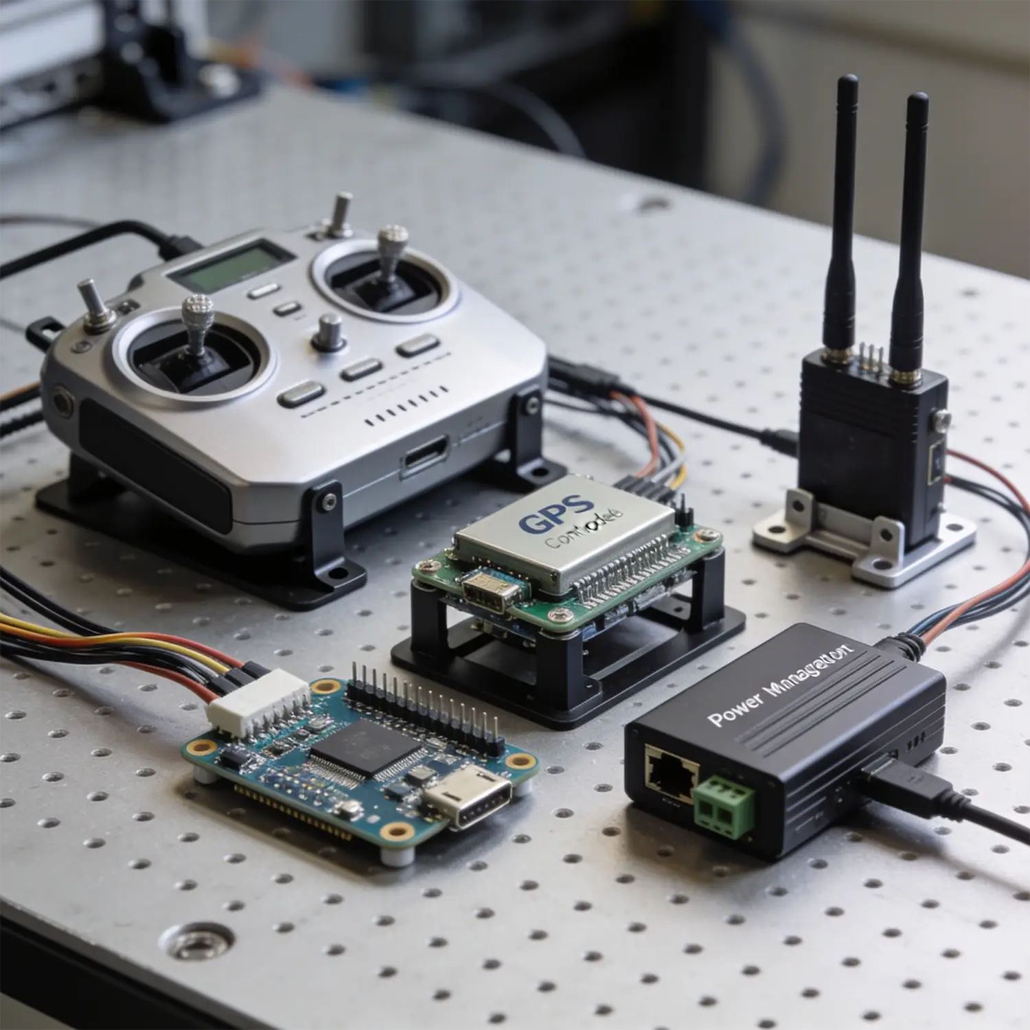
Commonly used IMU, barometer, magnetometer, camera, optical flow, lidar, altimeter, terrain map and sensor fusion algorithms. Each source provides incomplete information, and the system’s task is to collect a stable estimate of the position.
The main risk is the accumulation of errors and degradation of individual sensors.
In the working project, navigation without GNSS is tested in stages: test bench, short flights, degradation scenarios, error control, emergency modes, and only then a regular mission.
It is important for the operator to see not only the coordinate, but also confidence in the navigation. If the system understands that the quality of the assessment is falling, it should go into safe mode, and not continue the mission as if everything is normal.
Errors arise when GNSS-free is treated as a separate checkbox in the characteristics.
Before implementation you need to describe:
Practical conclusion: Navigation without GNSS requires a system architecture. Reliability comes not from a single sensor, but from a combination of sensors, algorithms and proven failure scenarios.
Featured article
Regular UAS operation requires procedures, checklists, maintenance and a clear data workflow as well as an aircraft.
Featured article
A comparison of system rental and contracted aerial operations: teams, initial information, responsibilities and deliverables.