


Featured article
Computer vision must be evaluated as part of a complete UAS mission: sensors, computing, data and validation of the result.
In this article
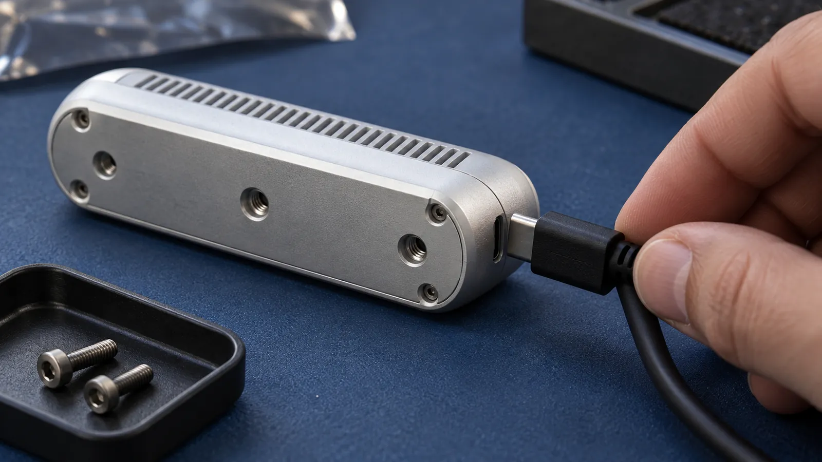
The payload is often chosen according to a short formulation: “need a camera”, “need a thermal imager”, “need a lidar”. In practice, this approach is almost always incomplete. For UAS, it is not the camera itself that is important, but the result of the mission: what data needs to be obtained, with what detail, under what conditions, for what time and in what form this data should reach the operator or the analytical system.
Proper selection begins with an engineering brief. Payload affects not only image quality, but also platform weight, alignment, power consumption, flight time, communication channel, gimbal requirements, vibration isolation, ground handling and maintenance. Therefore, the working combination “platform + load + computer + communication + flight scenario” is better considered as a single design configuration.
The first question is not “which camera to install?”, but “what decision should the customer make after the mission?” If after departure you need to see cracks in the structure, this is one configuration. If you need to find overheated elements, this is another one. If the task is to build a relief map or model of an object, the requirements will be third.
Before choosing equipment, it is useful to fix five parameters:
Once these parameters are understood, load selection becomes a technical task rather than a comparison of advertising characteristics.
The table helps you choose the direction of inspection. It does not confirm the compatibility of a specific sensor and device: weight, power and interfaces must be checked against the equipment documentation and test program.
| Task | What to consider | What to check before choosing | What outcome should be agreed upon? |
|---|---|---|---|
| Visual inspection | RGB camera and suitable stabilization. | Detailing, lighting, blur and the ability to tie the frame to the object. | Photo archive or video with a clear structure and identification of objects. |
| Temperature signs | Thermal imager; if necessary, a combination with RGB. | Measurement conditions, radiometry and interpretation techniques. | Initial thermograms and agreed upon treatment composition. |
| Vegetation analysis | Spectral photography using the chosen technique. | Ranges, calibration and repeatability of shooting conditions. | Calibrated materials or indices, if their calculation is included in the work. |
| Object geometry | Lidar system or photogrammetry according to the requirements of the task. | Binding, synchronization, completeness of coverage and verification of accuracy. | A point cloud, model, or other predefined data set. |
| Processing on board | Calculator and software component for the selected stream. | Performance, power, heat, storage and available interfaces. | Events, prepared data or processing log in a consistent format. |
For any option, separately check the weight of the entire installation, the position of the center of gravity, average and peak power, mounting and exchange capacity. If load control or data conversion is needed, include it in software integration task.
A regular photo or video camera is suitable for visual monitoring, site inspection, documenting the condition of sites, survey photography and photogrammetry. Not only megapixels are important, but also the size of the matrix, optics, shutter speed, stabilization, georeferencing of frames and the ability to maintain the required flight speed without blur.
Thermal imaging load is needed when it is not the shape of the object that is important, but the temperature contrast: overheating of equipment, heat loss, searching for people or animals, monitoring infrastructure. For such tasks, radiometry, matrix resolution, frame rate, temperature sensitivity, calibration and correct interpretation of data are critical. A thermal imager does not replace a conventional camera: often a combination of RGB + IR is needed.
This load is used when it is necessary to analyze reflection in certain spectral ranges: the state of vegetation, stress, humidity, coverage inhomogeneities, environmental characteristics. Here it is important to understand the methodology in advance: what indices are needed, whether a calibration panel is needed, how repeatability of the shooting will be ensured and who will interpret the result.
Lidar is chosen for tasks where geometry is needed: relief, clearings, lines, volumetric models, complex objects and areas with vegetation. It cannot be assessed separately from GNSS/INS, time synchronization, point density, airspeed and trajectory. A lidar mission often requires more rigorous integration than conventional video imaging.
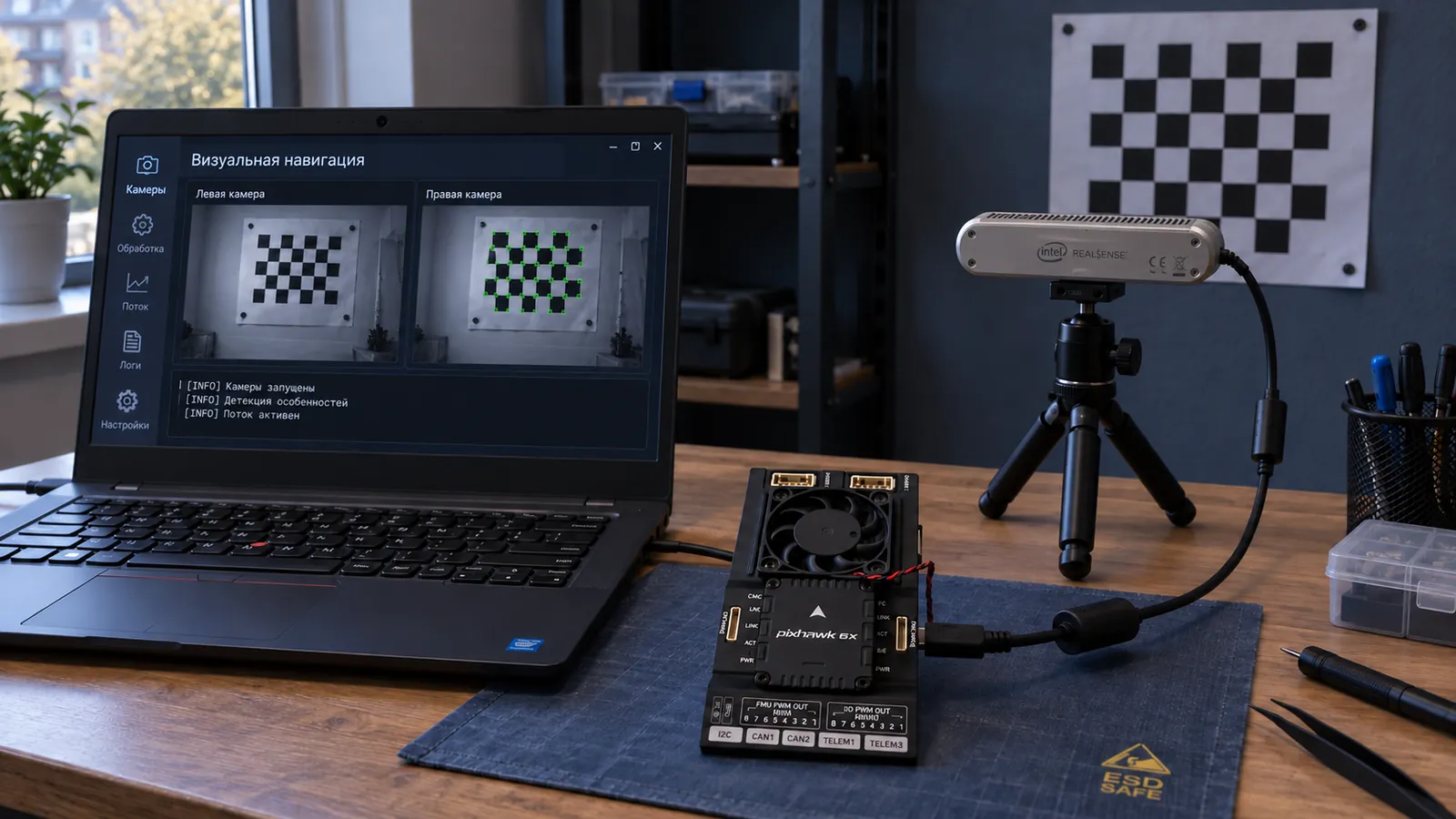
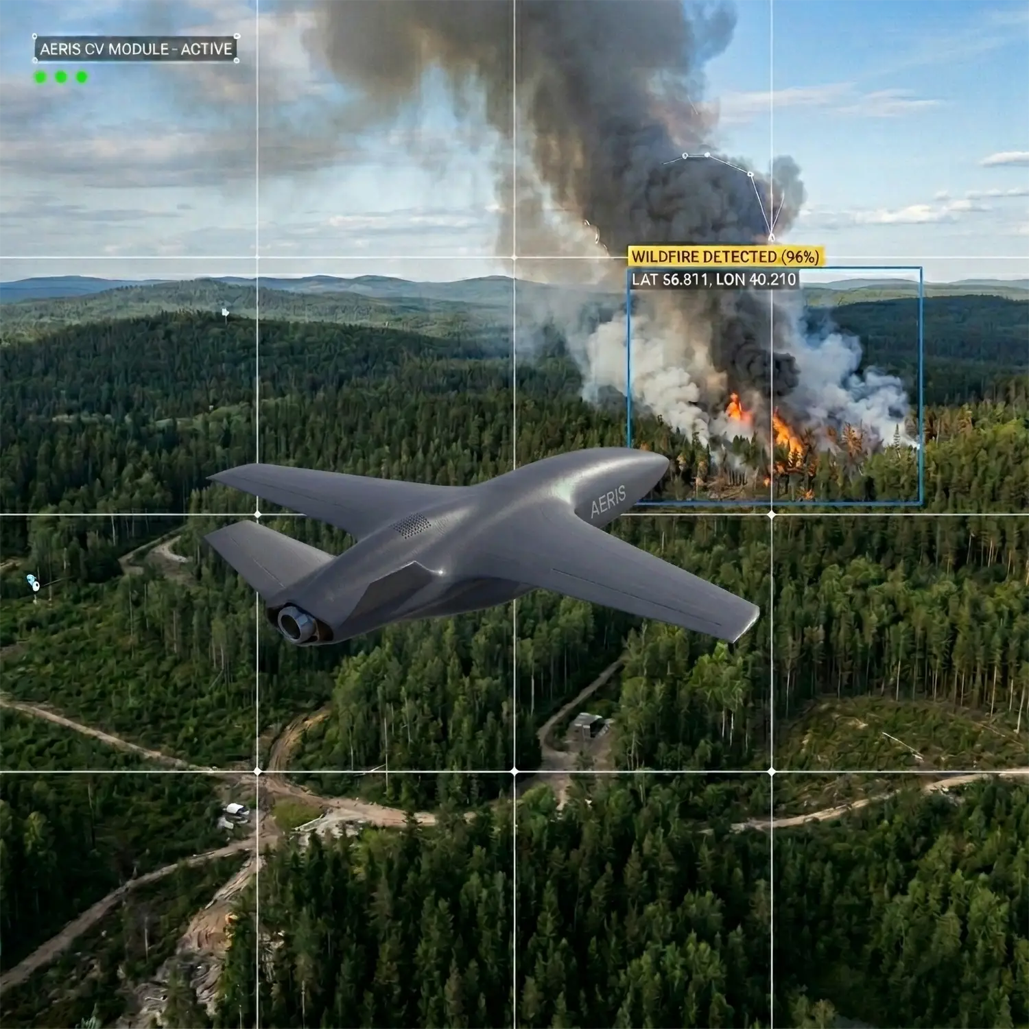
Sometimes the payload is not only a sensor, but also a computing module. It is needed for data preprocessing, computer vision, event detection, working without a stable communication channel, or transmitting not the entire stream, but already filtered results. At the same time, the computer adds mass, consumption, heat dissipation and software architecture requirements.
Even the right sensor may not be suitable for a particular platform. In payload integration, it is common to check not just one parameter, but a set of constraints.
If these limitations are not checked in advance, the project may end up in an unpleasant situation: the sensor has been purchased, but the platform does not provide the required flight duration, the communication channel does not support the flow, and installation interferes with maintenance.
The payload changes the behavior of the UAS. Increasing mass reduces flight time and downwind margin. Large suspension affects aerodynamics. High power consumption requires a review of the power supply. A heavy computer may require cooling. Lidar or high-definition camera can change the requirements for speed, altitude and route repeatability.
Therefore, the platform must be chosen after understanding the load, and not vice versa. For long-term monitoring, an aircraft configuration may be important. For spot inspection and hovering - multi-rotor. For combined tasks - VTOL. But in each case, the decision depends on the outcome of the mission, and not on a universal table of characteristics.
Before selecting a payload, it is useful to collect a short engineering brief:
At AERIS, we consider the payload as part of the entire system: platform, avionics, navigation, communications, ground loop and operational scenario. If necessary select a working connection between the load and the platform, it is better to discuss it not as a separate camera purchase, but as a design configuration for a specific task.
Practical next step: State the outcome the mission should produce and the site limitations. After this, you can select the type of load, evaluate compatibility with the platform, and see the risks of integration in advance.
Featured article
Computer vision must be evaluated as part of a complete UAS mission: sensors, computing, data and validation of the result.
Featured article
How NEXUS connects perception, memory and forecasting across robots in a distributed reasoning process, from assessing a situation to coordinated action.