



Featured article
Choose a UAV airframe around its payload, internal layout, maintenance access and mission requirements.
In this article
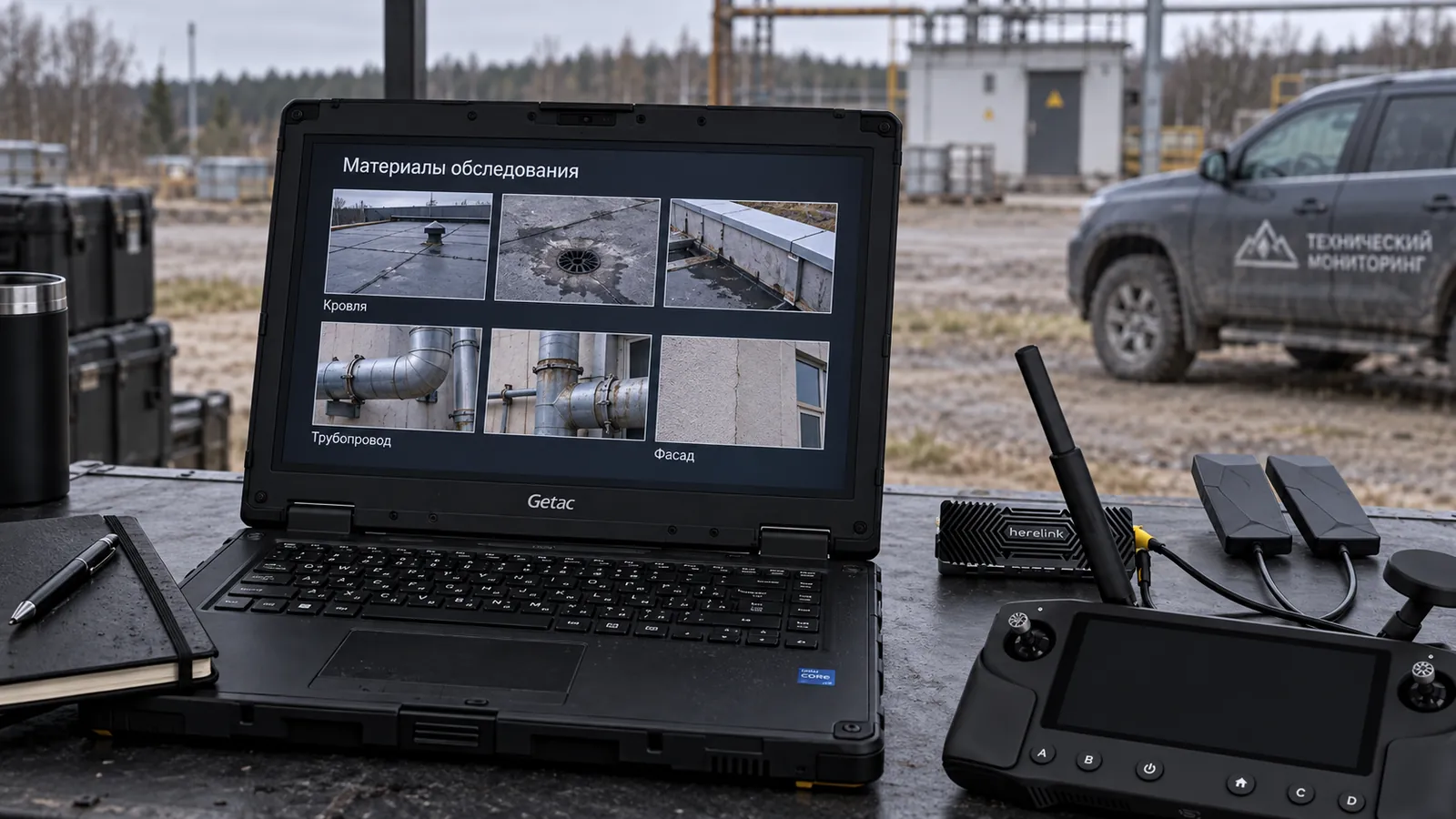
A customer rarely needs a “monitoring drone” by itself. Typically, regular information about an area, site, line, construction, infrastructure or natural area is needed. Therefore, choosing a UAS starts with the data, not the device.
The monitoring system must consistently collect comparable data: identical routes, clear coverage, required detail, predictable processing and convenient reporting. The platform is only part of this process.
First, the monitoring object, frequency, area, signs of changes and result format are determined. One-time flight and a regular observing program require different solutions.
Operational monitoring includes platform, payload, route, ground software, data processing and mission repetition regulations.
Restrictions depend on area, weather, communications, altitude, operating regulations and site accessibility.
Typical process: prepare a route, check the system, complete the mission, download data, process, compare with the previous period and form conclusions for the customer.
If the result is not just a photo archive, but a map of changes or a list of events, you need to think about the classification, quality control and report format in advance.
Monitoring projects often suffer from incorrect problem definition.
To select a UAS, prepare a brief:
Practical conclusion: Monitoring UAS should be selected as a data acquisition system. Then the platform, sensor and processing work towards the same result.
The quality of monitoring is determined not by the number of captured files, but by the suitability of the data for comparison and decision-making. It is important to specify in advance the area coverage, acceptable gaps, detail requirements, storage format, mission naming rules, and how results will be compared between periods. The UAS then acts as a measuring tool rather than as a random source of images.
Featured article
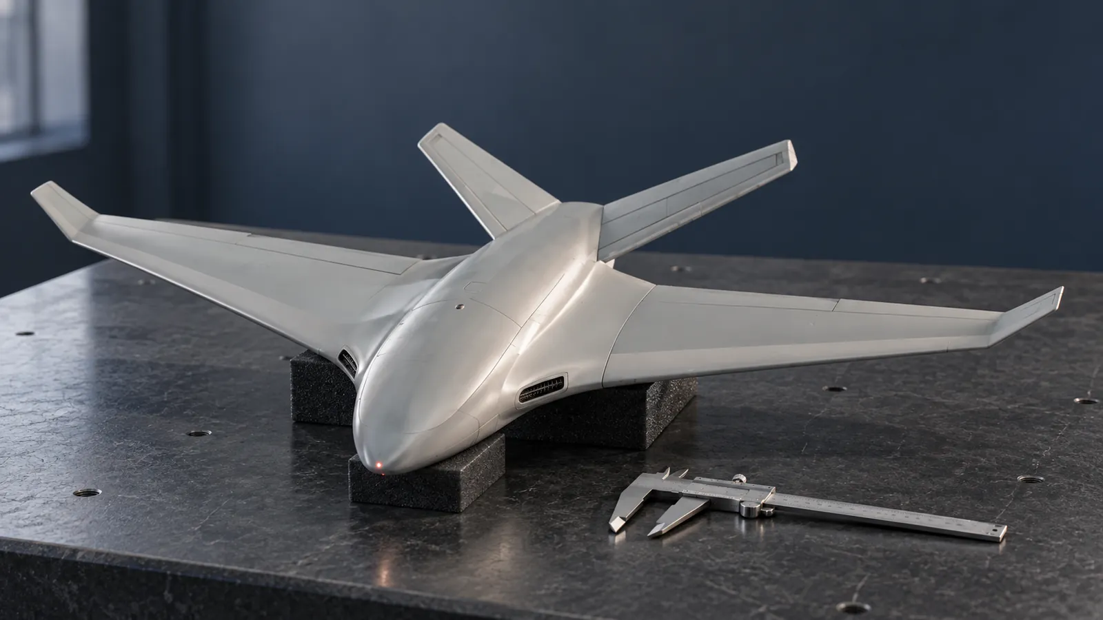
Choose a UAV airframe around its payload, internal layout, maintenance access and mission requirements.
Featured article
How NEXUS connects perception, memory and forecasting across robots in a distributed reasoning process, from assessing a situation to coordinated action.